Planning a trip to Vermont? You must know by now, I love this state, and am very happy to offer this suggestion to the would-be traveler: If at all possible, take any of these historic Byway routes instead of the Interstate. Leave the Interstate to the "18-Wheelers" and other trucks. Our byways are not only scenic, but are also a great place for the adventurer. Depending on the byway, our roads can be anywhere from 30 miles, up to 400 miles long! And yes, just for the record, I have traveled every single one of these byways by car or motorcycle....
Please note: all links will open in a new window.
Please take a look at this map (PDF) which I found on the Vermont Byways Program website. If you go to this webpage, scroll to the bottom and click on any of the byway signs for a more detailed map of the area you wish to travel. I recommend printing the maps in color to put in your glove box or add to your atlas. Of course, you use your GPS, but they are not always 100% accurate. Here is their website: http://www.vermont-byways.us/
"Vermont Byways are established from the ground up by local residents taking part in the National Scenic Byways Program, and funded through the Federal Highway Administration. Byway supporters realize their local areas are rich in history, culture, scenic and recreational opportunities. They are proud of their heritage and the place they call home and want to tell their story to you, their guest." Source: http://www.vermont-byways.us/
Vermont Deadline will tell you that there are 10 Byways in Vermont, to date. I recommend any of them. I also recommend stopping in a town and exploring. Have lunch or dinner, talk to the locals and see what happens....


Yesterday, we hopped on the Goldwing and headed north through Montpelier, and onto Route 2 to Middlesex. We took a left onto Route 100 which is the Mad River Byway (detailed larger scale PDF map).
Route 100 for a day trip is a beautiful choice as the road is in great shape and the mountain scenery is in your face. I love the peppery scent of cedar and pine that mixes and fills your senses as you drive along this road. But, driver beware! Be on the lookout for deer, moose, as well as bicyclists! Route 100 gives the traveler plenty of opportunities for hiking, canoeing or kayaking. You can access the Nation's oldest long-distance hiking trail: The Long Trail or stop by any of the small communities and discover their secrets.
 |
| Photo: yourplacevermont.com |
You can stop along side the byway to dip your feet or swim in the Mad River or stand at an amazing waterfall to have your picture taken! There are plenty of historic sites to visit and great places to eat, and taverns to drink (link to D's Dog House, Granville where you can sometimes be lucky enough to hear the Band "CRUISE CONTROL"). The bucolic settings offers plenty of photo opps such as many steeple churches, town greens, vast countryside with the Green Mountains as a back-drop and lots of native farms, as well as covered bridges! There are also chances to play golf, to go fishing, camping, skiing, snowboarding or to play tennis....and the list goes on!
 |
| Old Rusty with his "baby" |
madrivervalley.com offers this description:
A 2.6 mile round-trip hike that gains over 500' of elevation to a unique lookout. From Rt. 17 you hike north on the Long Trail, which climbs steeply, passes a spur to the Mad River Glen Lookout, then reaches a high point at the flat ridge of Molly Stark Mountain summit. The trail goes over the summit and on to Molly Stark's Balcony where there is a great view of Camel's Hump, the intervening peaks, with the Worcester Mountains visible to the east.
In Waitsfield, Russ and I walked through the Vermont Festival of the Arts, which was a public, outdoor event. There was plenty of food to sample, a band was playing and a multitude of various local artisan's selling their wares.
Before arriving in Rochester, we passed "Genes Road", and I couldn't help but wonder, is this were people find their routes [roots]? Bad joke, I know...but my mind tends to wander on the back of the bike....
 |
| Great food, great service, great local folk and Cousin Cora works there ♥ |
 |
| Rochester's "Green" in the fall |
On Route 73, you travel through the town of Forest Dale (which is either a hamlet of, or part of the town of Brandon). I thought to myself, I want to live in a town by this name! I pictured fairies dancing in backyards, Celtic music playing and people dressed in Ren Faire clothing.... but alas! It was just a passing fancy as we drove through.
 |
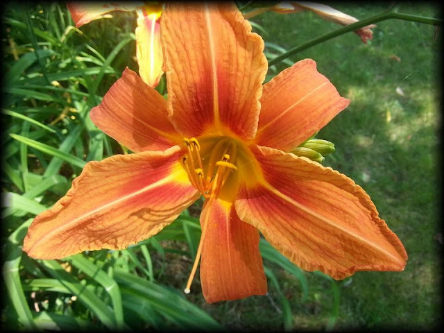
| Lilies are used domestically, and they are found growing wild all over the state during our summer months. |
 |
| My view from the back of the Goldwing sometimes.... |
We traveled up the Lake Champlain Byway, and then turned onto Route 125 which brings you through Ripton and eventually lands you back on Route 100, and returned home the way we came.
My new catch-phrase:
"Get off the highway, take the byway!"


No comments:
Post a Comment